The Town of Truckee is currently under multiple weather advisories and watches from the National Weather Service. Please take precautions and stay informed as we prepare for a weekend of heavy rain, high winds, and potential flooding.
- Lake Wind Advisory - In effect until February 1, 7:00 pm
- Winter Weather Advisory - In effect until February 1, 10:00 pm
- Winter Storm Watch - In effect February 2, 4:00 am to February 3, 10:00 pm
- Flood Watch - In effect February 1, 4:00 pm to February 4, 4:00 pm
- Avalanche Watch - Currently in effect
The storm may bring 4 to 6+ inches of rain to Truckee through Sunday night, with snow levels likely ranging between 6,700 and 8,600 feet. High winds will also be a factor, particularly Saturday evening into Sunday, with gusts exceeding 45 mph likely.
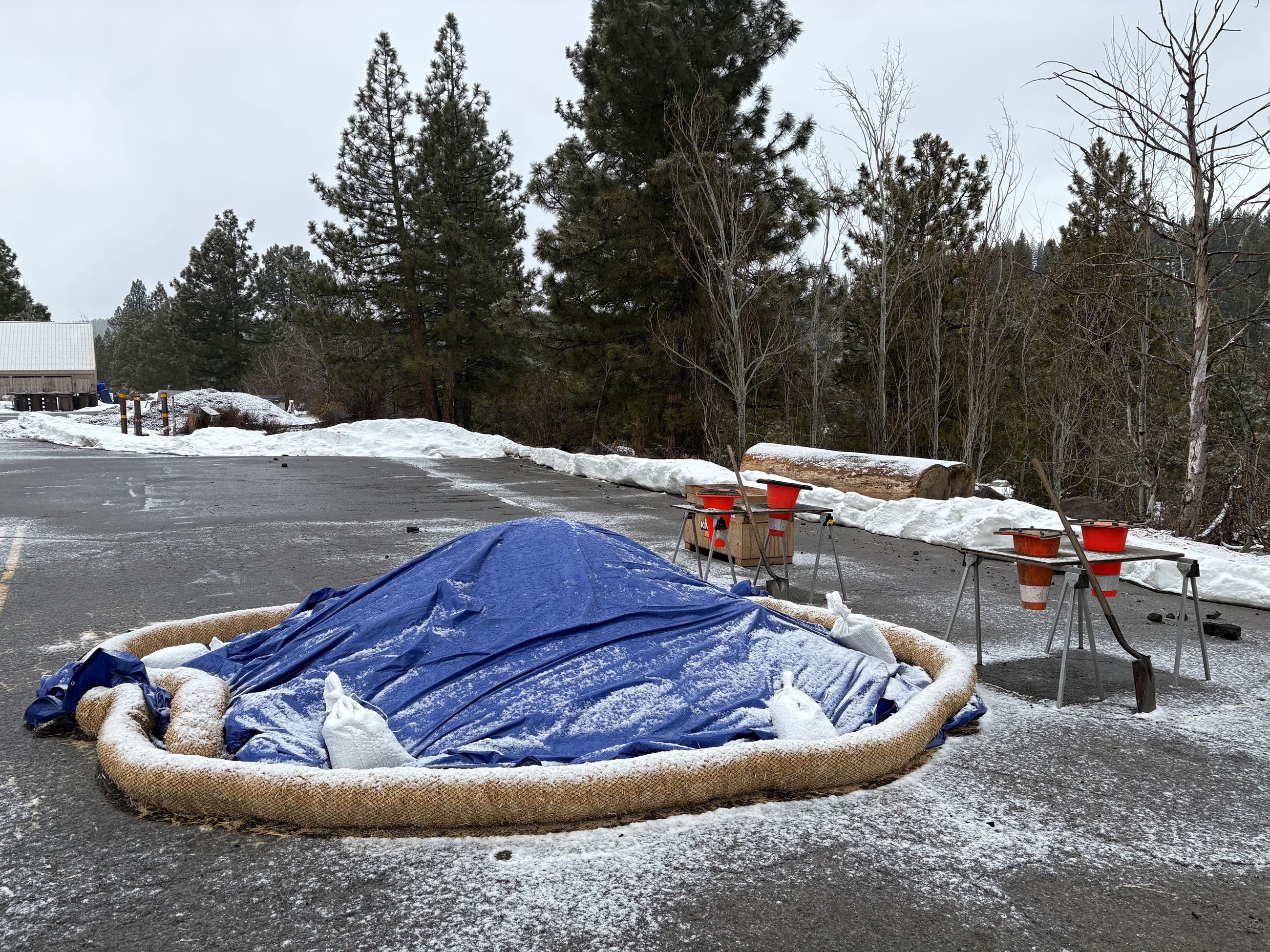
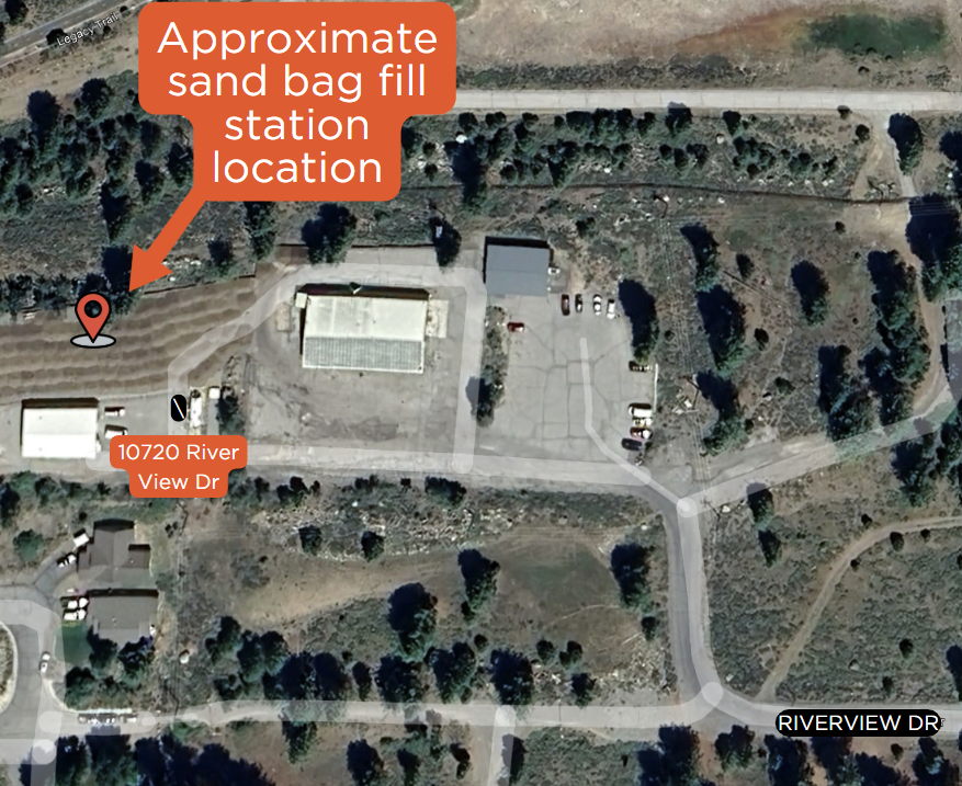
Flood Preparation: Free Sandbag Station
To assist with flood prevention, the Town of Truckee has set up a free sandbag station at 10720 Riverview Dr. (Old Corporation Yard). The self-serve station is stocked with sand, empty bags, shovels, and filling cones for residents who need to protect their property.
Travel Impacts & Road Conditions
Hazardous driving conditions are likely throughout the storm, with possible flooding on roadways and chain controls in effect. Before traveling, residents should check real-time road conditions using the Caltrans QuickMap website or call 800-427-7623 for updates on Interstate 80, Highway 89, and Highway 267.
Looking Ahead: Snow Returns Next Week
Following this weekend’s storm, snow is expected to return Tuesday and possibly continue through the weekend. Conditions can change quickly, so those who need to travel should drive cautiously, allow extra time, and carry winter essentials, including tire chains, food, water, warm blankets, and a flashlight.
Stay informed as the storm develops and take necessary precautions to stay safe. The Town of Truckee will continue to monitor conditions and provide updates as needed.